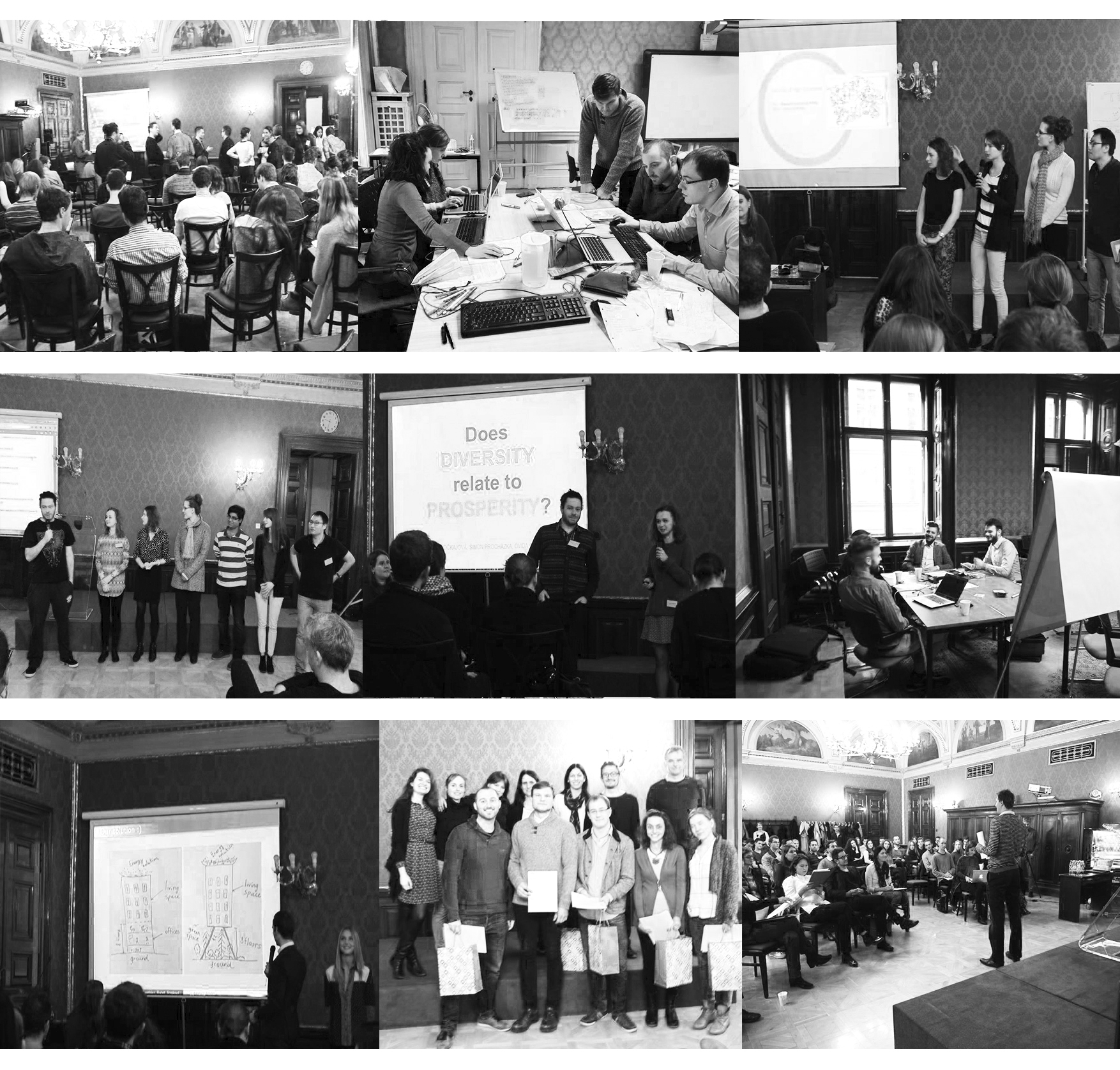
The Dathaton workshop occurred in Prague between the 11th and the 13th of November 2016 at Carge premises. 50 students attended the workshop.
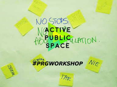
The central theme was the activation of Prague public space.
The students were provided with a set of data, that have been analysed in order to improve city or governmental policies as well as concrete spaces. All data used by the students has been divided in 916 microdistricts. They could be combined to neghborhoods and these added up to municipalities.
How can data help to actively shape cities? How can we activate public space by data usage? How can citizens collect data and actively shape their city? Those are some of the questions on which the students were focusing during the three intensive days, exploring new solutions.
The students proposals focused on three main topics:
1 – Urban Movements
The students focusing on this topic were analysing the city’s main traffic arteries as well as alternative routes of commuting, in order to adapt and create a more efficient traffic system. They tried to reveal the potential dynamics and needs of spaces in the city. Moreover they put an effort on finding alternative transport tools, focusing on the effect of limited parking zones, alternatives for Prague and transportation in neglected zones.
2 – Diverse city
Multiculturalism, different lifestyles and economic backgrounds are essential for contemporary metropolis. Students tried to find solutions for balancing varied situations in the urban space, exploring the diverse city. Platforms related to food, culture and politics have been explored as potential solutions. The impact of social networks in communicating the related events, creating new routes within the city. have been assessed.
3 – Bottom-up Impact
Virtual tools can allow a more participative urbanism, through mapping for example. The role of social media in urbanism is a theme that has emerged in the past 15 years. Many platforms are created by users in order to communicate or give the tools needed to express an idea. The data-driven participatory and interactive mapping have been studied by the students as a tool that can empower people to appropriate the space which they inhabit. The students focused on understanding how can virtual distributed tools allow for a more participative urbanism, what are the most innovative ways to collect information, how can more statistically significant, unbiased data be generated for better policy making, what kind of data is currently needed but not collected to solve the city’s problems.
During the workshop the following lectures have been given:
Online-Sharing-GPS
Bernhard Sommer, University of Applied Arts in Vienna
From Data to Better Governance
Lucie Stejskalová, Strategy and Policy Department at Institute of Planning and Development in Prague
Evaluating Access to Universal Digital Highways
Gabriel Ahlfeldt, London School of Economics and Political Science
Visualization and Interpretation of Data
Mathilde Marengo, Institute for Advanced Architecture of Catalonia
During the last workshop day eleven teams working on urban topics of Prague such as public transport, abandoned places, residential real estate, livable city, and many more, presented their work to the international jury.
The students Robert stickney, Karel Golan, Eva Horakova, Greta Solari and Michal Kubista were awarded with a special mention for the project developed, each one of them received a 1,000 USD scholarship for the MA in Applied Economics program or ARCHIP masters program.

Leave a Reply